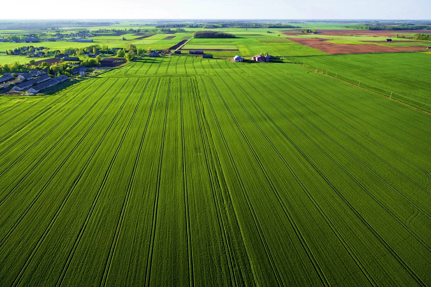
The use of unmanned aerial systems is a growing best practice as a critical component within a Precision Agriculture system affording the capability of saving farmers millions of dollars in time and resources over conventional methods.
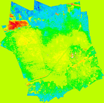
UAS offers our AG-M6 multi-rotor aircraft to provide various aerial imagery types (i.e., full color and NDVI imagery,
still shots, High Definition Video) of the entire growing field in helping to determine crop health and field conditions at a fraction of the cost of
 |
Color Key to reading this NDVI Imagery... Blue: Very healthy vegetation... Green: Healthy vegetation... Yellow : Stressed vegetation.. Orange: Weak/Dying vegetation.. Red or White: Dead vegetation, dirt, etc.
Acquired in Central Louisiana using our UAS AG-M6 aircraft. |
The AG-M6 offers a fully autonomous capability of “flying itself” on a predetermined mission over your field or the option of flying “First Person View” for a “hands on” capability to examine specific areas of interest in your field noted during your flight.
All aerial imagery data gathered post flight can quickly and intuitively be downloaded into a user friendly format for further inspection and decision making regarding further actions for your field condition solutions.
Please Contact Unmanned Aerial Solutions to discuss tailored solutions for your specific applications and needs. We offer turnkey services, direct sales, and leasing options.
Many thanks and we look forward to the AG-M6 playing a critical role in your Precision Agriculture system.
UAS is proud to support the Association for Unmanned Vehicle Systems International (AUVSI)
Copyright ©2014- Unmanned Aerial Solutions, LLC. All rights reserved.
